Redland, Bristol
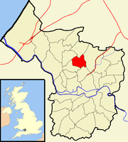
Human settlement in EnglandRedland is a neighbourhood in Bristol, England. The neighbourhood is situated between Clifton, Cotham, Bishopston and Westbury Park. The boundaries of the district are not precisely defined, but are generally taken to be Whiteladies Road in the west, the Severn Beach railway line in the south and Cranbrook Road in the east.
Read article
Top Questions
AI generatedMore questions
Nearby Places

Bishopston, Bristol
Suburb in Bristol, England

Cotham, Bristol
Human settlement in England

Redland railway station
Railway station in Bristol, England

Redland High School for Girls
All-through private school in Bristol, England

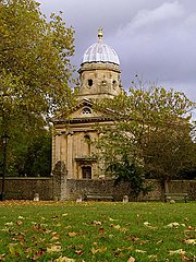
Redland Chapel
Church in Bristol, England

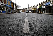
Gloucester Road, Bristol
Street in Bristol, United Kingdom

Redland Green School
Secondary academy in Bristol, England

Redland Green
Park in Bristol, England

